 | We
left Israel via Air Sinai, on their one airplane, a Boeing 737, then we
took a coach to the Port of El Sokhna, a small, mainly commercial port
on the Gulf of Suez, about 100 miles south of Cairo. |
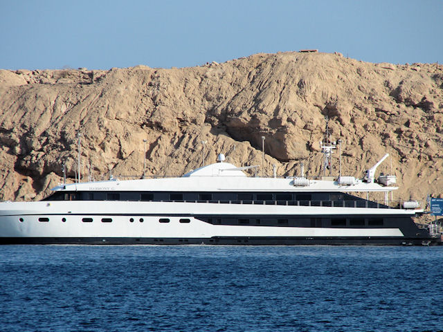 | We
took the motor yacht Harmony G from El Sokhna to Sharm El Sheik.
This yacht remained our hotel for the following six nights. |
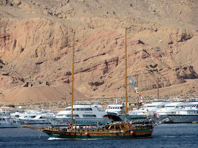 | The
principal attractions at Sharm El Sheik have to do with the Red Sea.
Located at the very tip of the Sinai peninsula, it is surrounded by
reefs, good places for scuba and snorkel diving. Some of the best
reefs can be found in the Ras Mohammed National Park. Most of the boats you see at this marina at the edge of the park are dive boats of one sort or another. The Almira III breaks the white fiberglass mold, although over two days I never saw it fly a sail. |
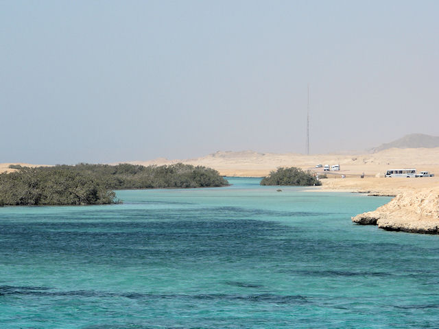 | This
bit of green is a cluster of mangroves, that grow on salt water.
Because they are green, against the Sinai desert, these are
tourist attractions. The paler water color indicates reefs below
the surface. |
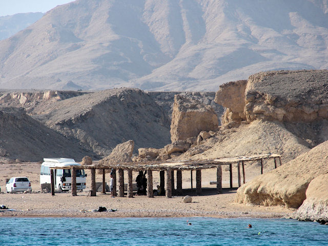 | A mini-bus, the desert background and a beach. Actually, there are a few snorkelers visible in the water, too. |
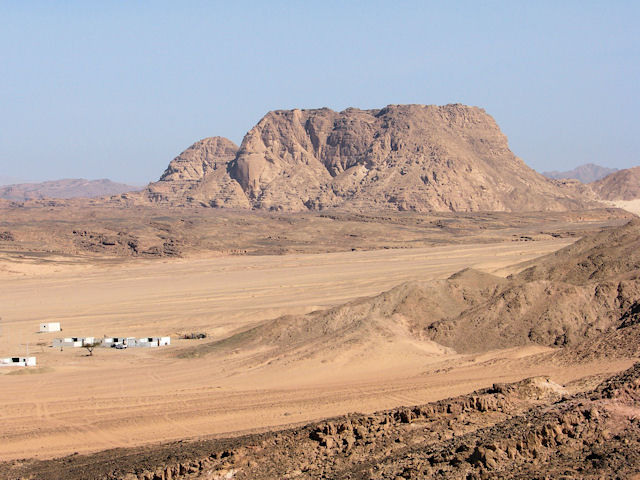 | From
Sharm el Sheik, we took a long bus ride through the desert toward St.
Catherine's Monastery. Along the way we passed across the Valley
of the Gazelles. I don't see any gazelles, though. |
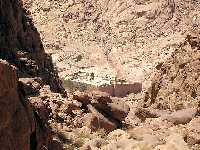 | St.
Catherine's Monastery is tucked into a crevice in the mountains, as
shown in this picture from the Wikipedia commons. I didn't get up
the mountain. |
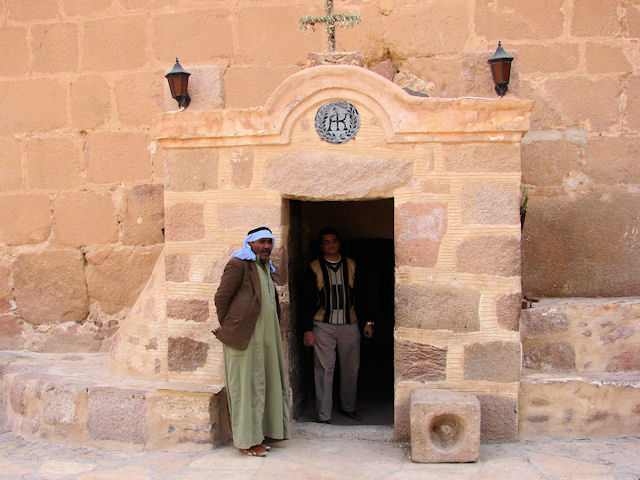 | The modern entrance to St. Catherine's is at ground level, but the medieval entrance is about 30 feet directly
above this point. Visitors could only enter if the resident monks
lowered a rope lift to bring them up to the door. |
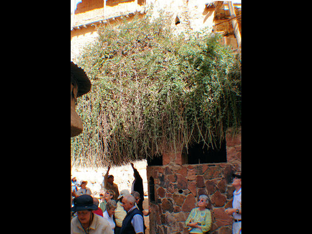 | The
location of St. Catherine's was more or less set by Helena, mother of
Constantine I. She had a vision that told her that this was the
Burning Bush that spoke to Moses, and his well was just 60 feet away.
She arranged to have a chapel built her. In fact, that
little bit of stone on the left of the picture is part of the chapel.
The monastery, built between 527 and 565 by the authority of the
Emperor Justinian, enclosed St. Helena's Chapel and (very practically)
the well. It got the name St. Catherine's 200 or 300 years later,
when the monks found St. Catherine's remains, which had been transported by angels from Alexandria. |
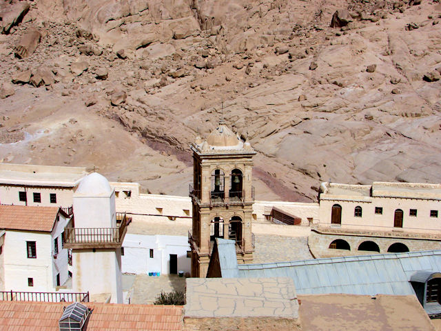 | View
from the roof, the bell tower was built in 1871 to house bells donated
by Czar Alexander II. The lead roof covers the 6th century
Basilica of the Transfiguration. The adjacent minaret has never
been used. |
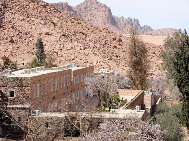 | Just outside the Justinian walls, there is a garden and guest quarters. |
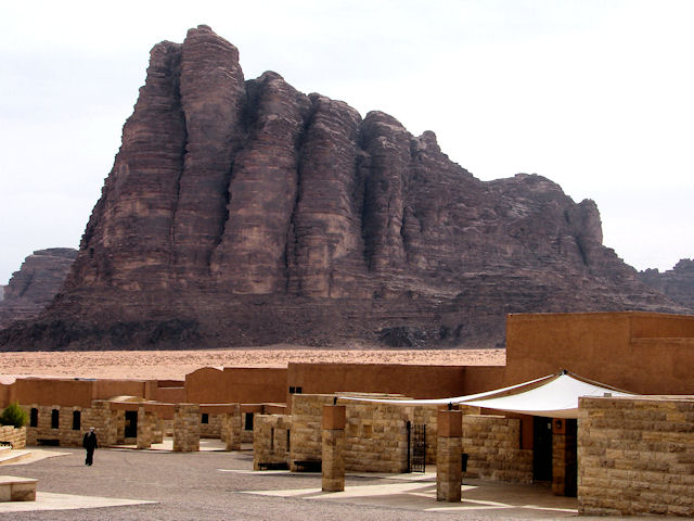 | The
Harmony G took us to the Port of Aqaba, from there we motor
coached to Wadi Rum, which has become a tourist destination.
The mountain commonly referred to as "The Seven Pillars of
Wisdom" looms over the tourist reception area. Wadi Rum was the
center of T. E. Lawrence's operations against the Turks during WW1, and
it also served as a filming location for the 1962 "Lawrence of Arabia." |
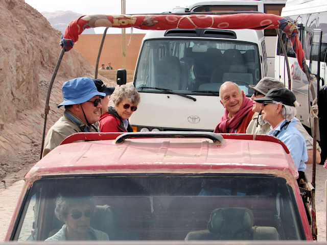 | We
traveled across the desert of Wadi Rum in the most beat-up 4-wheel
drive trucks you could imagine. No lights, broken windows,
hot-wire starting, no dash board. Everything up to date!
Well, the Bedouin drivers all had cell phones. |
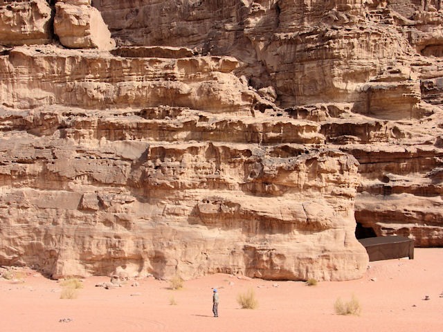 | Every
turn brought forth another spectacular rock formation, surrounded by
extraordinarily fine sand. Our friend in this picture is about 6'5"
tall. |
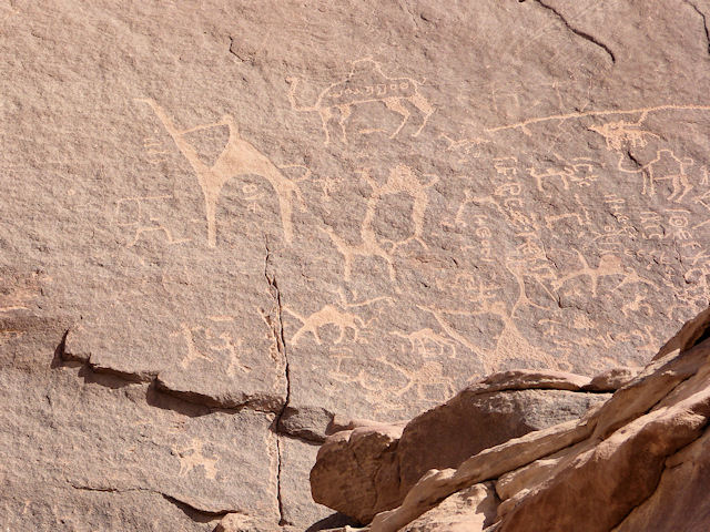 | These petroglyphs go back to about 600 BCE, where they might have been made by the Nabataeans, active traders of that era. |
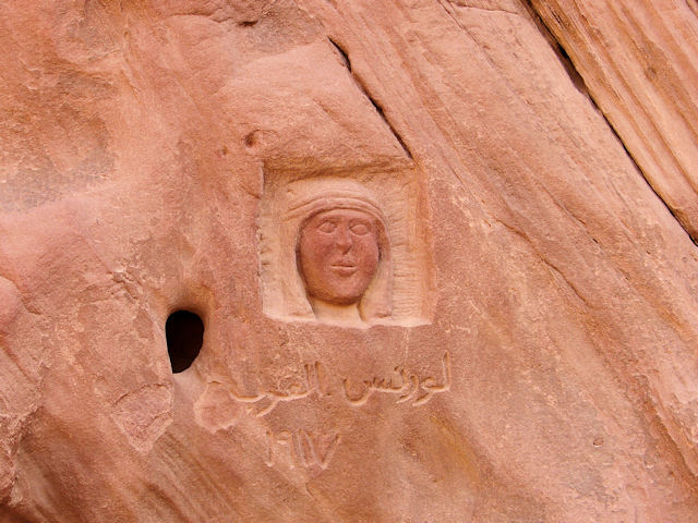 | This carving of T. E. Lawrence was made while he was organizing the local tribes in Wadi Rum. |
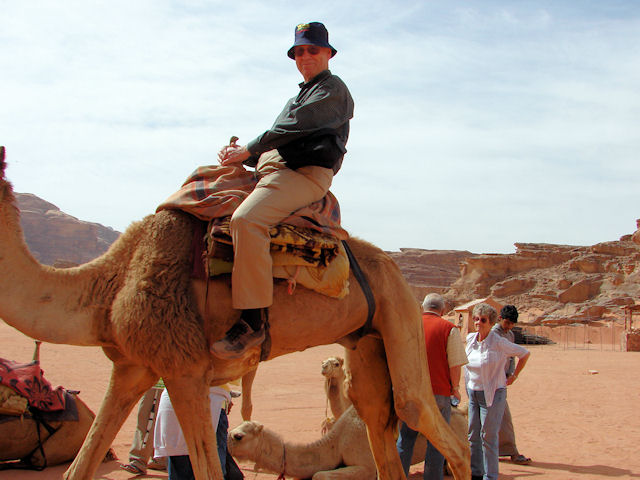 | Your intrepid host on a camel. They are noisy beasts, seeming to complain about every move.
The most exciting part about a camel ride is the time when the
camel stands up, back feet first (tilt way forward), then front feet
(regain equilibrium). |
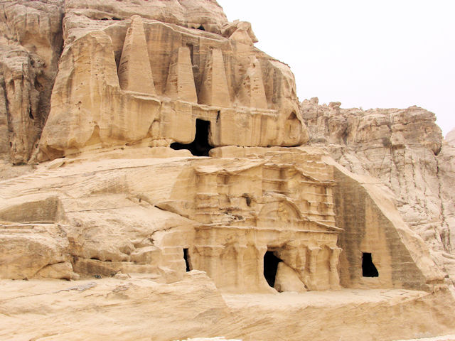 | Petra
is a massive site, and one of the earliest views is this complex,
the Obelisk Tomb and the Triclinium. Both are carved from the
sandstone, not built up by from stones. For the most part, that
describes Petra. Carved from the walls of canyons. Around 100 BCE, a trading nation know as the Nabataeans constructed Petra as their capital city. The city reflected influences from both Egypt and Greece, the two major civilizations of the day. In about 100 CE, the Romans came in and took over, then after a century or so, the trading flow shifted away from Petra. Around 400 CE, the city was mainly a site of religious pilgrimage. It was occupied by the Crusaders for a while, and in the Middle Ages it was a site visited by a few caliphs. |
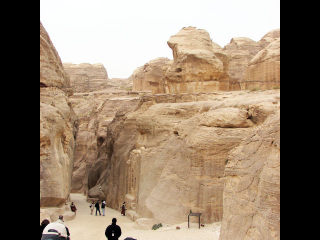 | Until,
1812, the city was beyond the horizon of the Western world. It
was a camp site for desert residents. A Swiss explorer,
Burkhardt, following rumors, used guile to find his way in. It is
possible that he entered at this point, the beginning of the Siq. The Siq looks like a fissure between two mountains that cracked apart. For a half mile or more, you walk through a crevasse. Actually, a paved crevasse, thanks to the Nabataeans. |
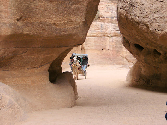 | Of course, there were options to walking. |
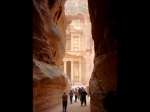 | This
is the view as you reach the end of the Siq. Light breaks
through, and it illuminates a building popularly known as "The
Treasury." |
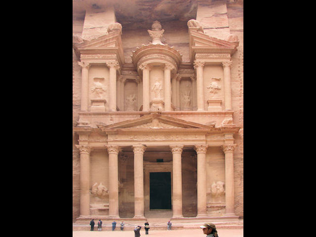 | Presumably,
Burkhardt called this The Treasury, because that is how his Bedouin
hosts described it. It is a tomb, carved out of the rock walls
of the canyon. |
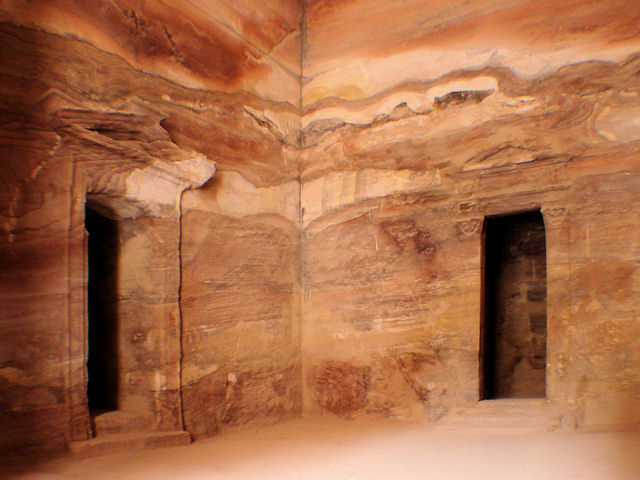 | The interior of the Treasury shows the wide variations in the rock colors, which characterize Petra. |
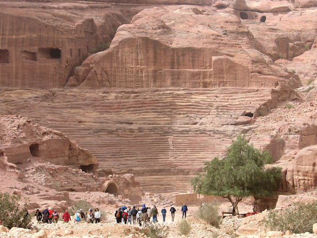 | Like
most cities of its time, Petra had a theater. While we tend to
associate theaters with the Romans, this was built by the Nabataeans.
It doesn't follow the rules for making Roman theaters. |
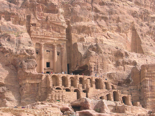 | In
the latter days of Petra, the Romans used the Urn Tomb as a courthouse,
and some of the structures in front and below were built of stone
blocks, not carved from the mountain. They were jail cells, I
think. |
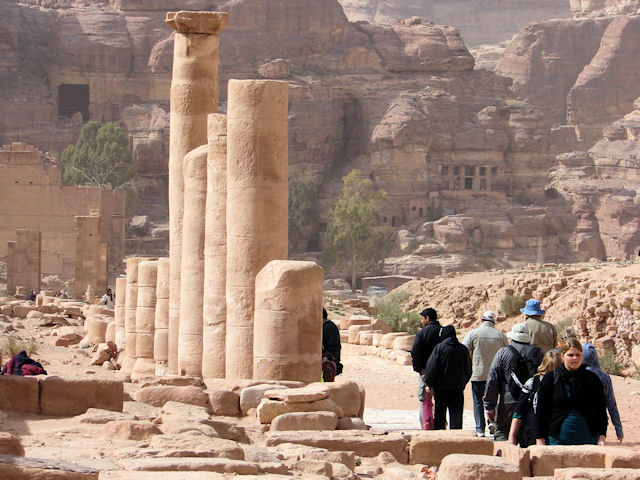 | These
columns indicate the presence of a Roman Cardo, their main shopping
street, probably during the 2nd century. But look at the hills!
Carved with rooms and facades. |
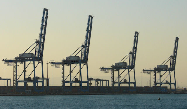
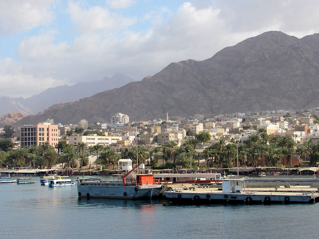 | Our way in and out of South Jordan was the port of Aqaba, Jordan's only shipping port. |
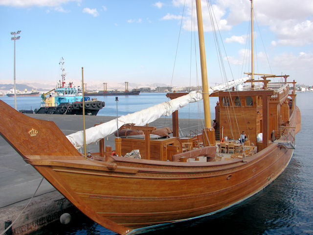 | And where else would King Abdullah keep his yacht? |
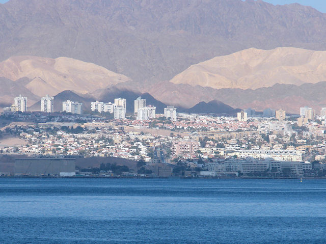 | Looking
across the Gulf of Aqaba, we see the Israeli city of Eilat. At
the top of the Gulf of Aqaba, Egypt, Israel, Jordan and Saudi Arabia
are all clustered within a very few kilometers of each other. |
| Return to Home Page | Navigate to Next Page | Navigate to Previous Page |